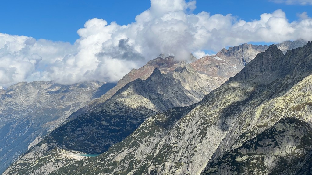
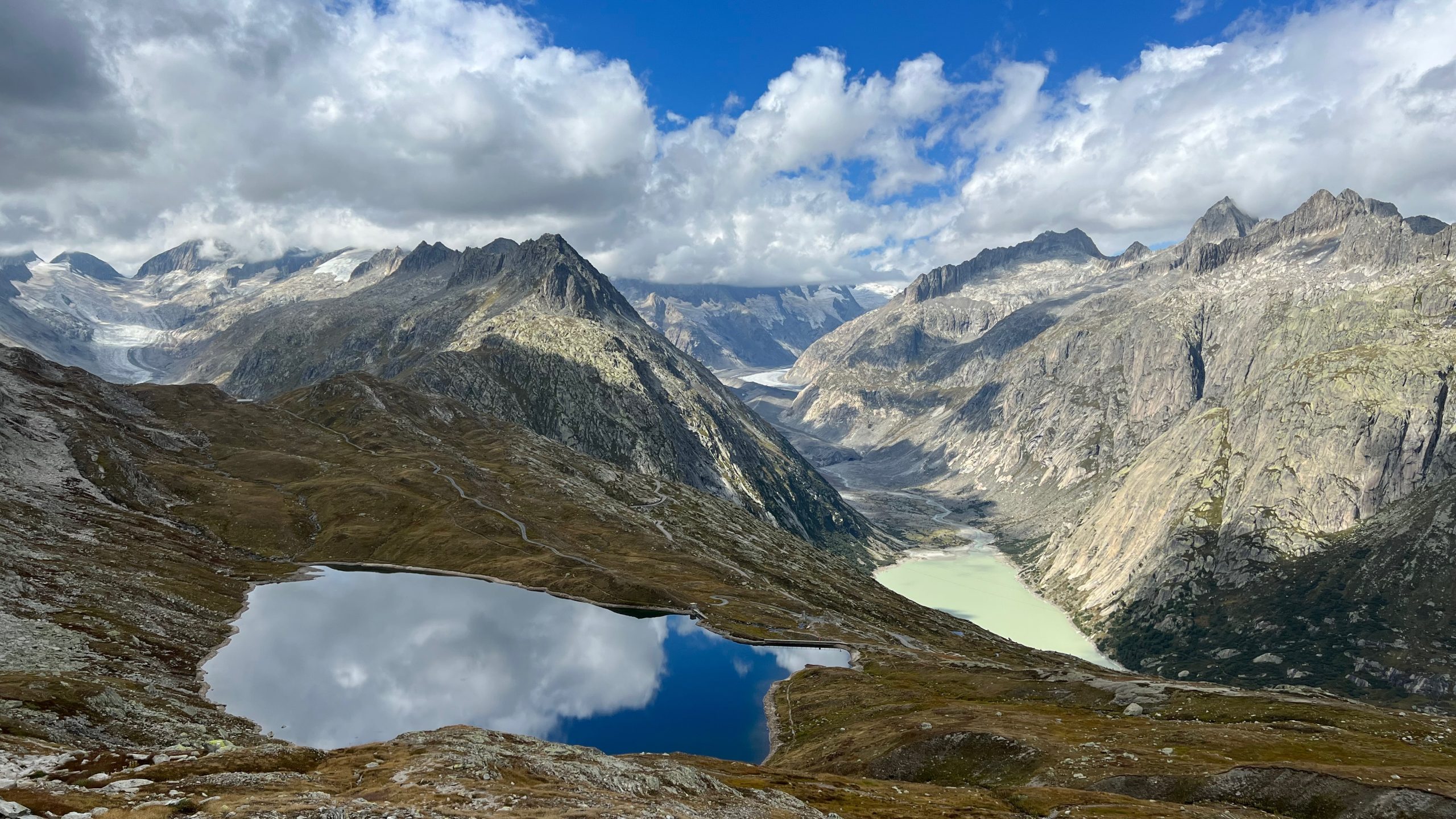
Grimselpass to Sidelhorn is an exceptionally beautiful higher altitude hike that has views of multiple alp ranges and glaciers from the summit. The first part of this hike is an easy walk from Grimselpass (2164m) on the upper road over Grimselsee, and then it gets steeper as you go up towards Sidelhorn (2764m). The path to the Sidelhorn summit is a large pile of boulders that you need to climb over, not my favorite, but technically not too difficult and the views from here are really incredible.
Startpoint: Grimselpass parking (alternately, you can take the bus 161 to Grimsel Passhöhe bus station)
Endpoint: Same as the start
Details: Approx 9.5 km, + 624 m / – 615 m elevation difference
Time: Around 3.5 hours
Date hiked: 4 September 2022. Season is around June to October
Map: Google Maps
GRIMSEL PASS and Grimselsee
Normally when I’m hiking I do a ton of research about everything, and go by train or bus, but my husband wanted to do a short hike at Grimselpass on our drive back from the Alpenbrevet in Andermatt so he did all of the planning (and driving). I hadn’t been to the area before and this was all an exceptionally nice surprise for me.
I have a pretty extensive and random knowledge of a lot of things about Switzerland. Once, a Swiss colleague of my husband’s was quizzing me on random Switzerland facts, and asked me what is the pass that connects canton Bern & Wallis — I (somewhat embarrassingly, as we live in Bern…) failed to answer that question, but the answer is Grimselpass. Since then I’ve always made a note of the place.
Anyway, there’s parking (and a restaurant, kiosk, hotel, etc.) at Grimsel and it might be easier to get here with a car, but there’s also a bus that stops right there that you can get from Oberwald.


We started up an asphalt road, the Panoramastrasse Oberaar. It is a one-way road that is alternately opened for traffic at different times, so you do need to watch out for cars (& motorcycles) if you go this route, but there’s plenty of space and there weren’t too many cars when we were there.


Grimselsee
Shortly after beginning the hike the Grimselsee comes into view, which is the largest reservoir for the Grimsel power plant, one of the largest hydroelectric power plants in Switzerland.


There are a few cable cars that pass over the lake. I’m not fully sure which ones go where, but I can imagine that all of the views are amazing.
A little further on in the hike past Grimselsee, you get more views towards the Finsterahorn and the Bernese alps


way to trübtensee
After passing Grimselsee, we took the way up to Trübtensee/Sidelhorn. It starts with a small paved path off of the main road. From here on the hike gets more difficult and becomes more of a hike versus an easier walk. I honestly would have been happy with all of the views if the hike had ended here.


Trübtensee itself is a relatively small lake at 2365m, and its water is also apparently used to help power the Kraftwerk Grimsel 1 power plant.


sidelhorn summit – 2764m
Once you are at Trübtensee it is more than an hour or so up to Sidelhorn, and generally much steeper than the first part of the hike. It’s a little rocky but not impossibly difficult.


Don’t forget to look back from where you came up! From here, when you look back down to Trübtensee, it gave off reflections of the clouds and sky above. You can also see more of the Oberaargletscher and Unteraargletscher from here.


You’ll reach a place where you get views back over to Wallis/Valais and continue to the Sidelhorn summit, or descend south and then back to the Grimsel Pass starting point. We decided to keep on going as it wasn’t that much further, and for even better views.


The final part of the route to the Sidelhorn summit is basically a large pile of rocks, and generally not my favorite type of path. It wasn’t that technically difficult (rating of T3/”difficult mountain hiking”) but maybe a little scary for me.

Once you’re at the summit, the views are really incredible and worth the effort as you get the bonus view of the Urner Alps.


return to grimselsee
We went back down the Sidelhorn summit the way we back up (there’s also another route you can do). Once you get down the initial block of boulders from Sidelhorn, the route is relatively straightforward and a lot simpler.


All in this was an amazing hike and I’m definitely looking at other hikes and things to do around the area.
