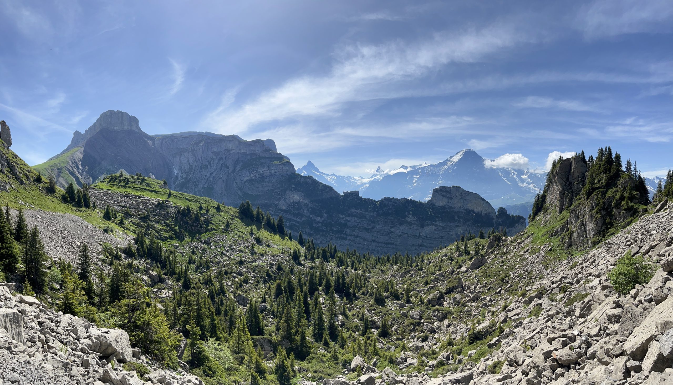
This hike may be one of my favorite hikes in the Jungfrau region. Schynige Platte on its own is great, First is also beautiful, but the connection between the two and way up Faulhorn was my favorite as you get such varied scenery, and I really love any combination of mountain and lake. It’s also significantly less busy in between so it’s a nice break but with easy and well-serviced start and end points. All in it’s a slightly challenging hike given the length, but not that bad as the elevation gain is over quite some time.
Startpoint: Schynige Platte (via Interlaken to Wilderswil)
Endpoint: First aerial gondola back to Grindelwald
Details: Approx 17.3 km, +900m / -735m elevation difference
Time: Around 5.5 hours
Date hiked: 17 June 2022. Season is around mid-June to October (there was a bit of snow higher up when I went)
Map: Via Schweizmobil
Other: Jungfrau.ch hike info
Schynige Platte to Faulhorn
The startpoint for this hike is at Schynige Platte, which you get to via the Schynige Platte railway which was built in the late 1890s. The ride takes around 50 minutes as the train covers quite a bit of elevation on the way up, but it’s a really beautiful way up and the train cabin is relatively open with tons of windows. I sat on the right side on the way up, which I would say has a little bit of a better view.


Once you’re there you can take several shorter routes around the area – Schynige Platte itself is at around 2000m altitude so you really can’t go wrong with anything you do. For this hike, follow the signs to Faulhorn.


Along the way you have views of the Eiger, Mönch, and Jungfrau on one side, and then later you’ll hit Brienzersee (and a few other small lakes). I don’t really have much else to add about this route other than the photos below, the views are incredible.


Immediately after this point you reach Berghaus Männdlenen at 2344m high. As you can see from the above photo, there was still some snow on the trail – nothing impassible when I went but it is worth checking out the trail status here via the Jungfrau region website. From here you’re about 2/3 of the way to Faulhorn.


Faulhorn Summit

At Faulhorn (2681m) there’s a restaurant and hotel and some places to sit and enjoy the view over Lake Brienz / Brienzersee and Lake Thun / Thunersee.


Bachalpsee to First
After Faulhorn, follow the signs for a gradual descent down to Bachalpsee (2265m).


After Bachalpsee, it’s a short walk back (maybe 30 min or so?) to First (2184m). There are a lot more people between Bachalpsee and First as it is a pretty popular route, and First is easily accessible from Grindelwald with a cable car. At First, you have a ton of options of things to do – there’s the First Cliff Walk by Tissot where you can walk on an elevated path around the side of the mountain, a restaurant, and other miscellaneous adventure things you can do e.g. pretend you’re a bird, fly down in a chair, take a mountain go cart, etc.
Fun story – once, many years ago, I tried to go on the walk from First to Bachalpsee at the end of May, to see the lake. The whole path and lake were covered in snow, and it was an incredibly sunny day and 1) the lake was covered in snow and you couldn’t see anything 2) I forgot sunscreen (not so smart of me…). I ended up with a ton of sunburn without having seen the lake. Fun times.


At this point, I took the cable car down to Grindelwald. If you’re feeling ambitious or energetic, you can also walk down to Grindelwald which is around 2 hours depending on which way you go.
