A beautiful hike with views of the Gantrisch area. To me, the Stockhorn is one of the more distinct mountains in the Bernese Alps – whenever I see the mountain from certain angles in the Bern region, it kind of reminds me of an upside-down Nespresso capsule. I wanted to explore a little more around Gantrisch and the surrounding areas, so I decided on the higher elevation route from Gurnigel at 1500m to Stockhorn at 2190m to help avoid the heat on a hot day.
The Stockhorn summit is accessible via cable car from Erlenbach im Simmental, so you can get some incredible views without the effort, but my favorite part of the hike was the second half, which must all be done on foot.
Startpoint: Gurnigel Wasserscheide bus stop (Bern to Thurnen train station, then take the Bus 323 towards Schwarzenburg)
Endpoint: Stockhorn Summit (Stockhorn cable car to Erlenbach im Simmental back to Bern)
Details: Approx 11.9 km, + 900 m / – 333 m elevation difference
Time: Around 4 hours
Date hiked: 4 August 2022. Season is around June to October
Map: Google Maps
GURNIGEL START
There is a special ticket from BLS that is the Gurnigel Stockhorn ticket, which includes the bus ride from the Thurnen train station to Gurnigel, as well as the cable car down from Stockhorn.

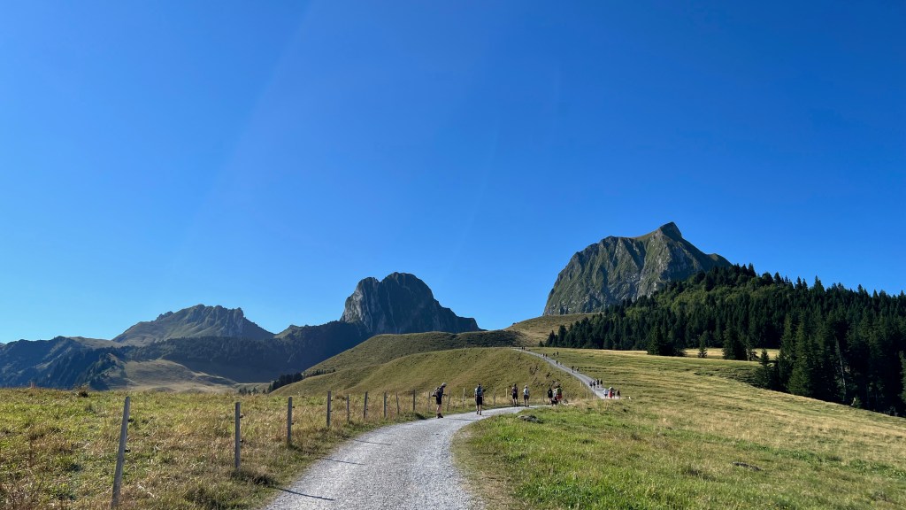
The hike starts on a gravel path just past the bus stop and a parking lot – when I went, the bus was full (and there was an additional bus running) so quite a few people were at the start. Pretty soon after it got less busy as people were all going to different places (there are a few paths and ways/places to go).


Past Bergbeizli Obernünenen, you continue to Leiterepass. On the way up you pass the way to Klettersteig Gantrisch, if that’s your thing. The path here is straightforward, but a little steep towards Leiterepass.


leiterepass
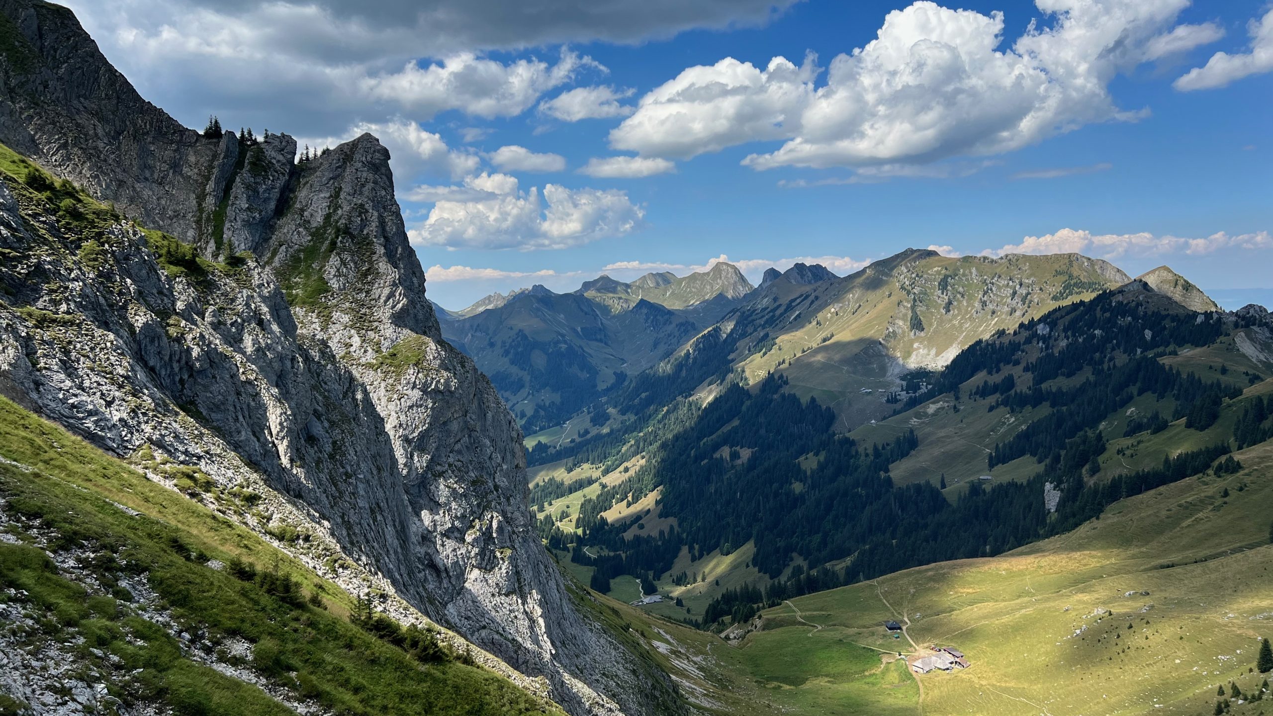
Once you reach Leiterepass, you get incredible views over Gantrisch, and a bit of a break in effort as it goes mostly downhill for the next 6km.

Stockhorn is the peak on the left side of the photo below.


I find it fun and also incredibly satisfying when you see your final hiking destination from a distance and then make it there. Seeing Stockhorn getting closer and closer was no exception. From this point on you walk through some incredibly beautiful scenery, and unlike the beginning and end points of this hike there were very few people around. There are however, two or so small farm stands etc. where you can stop and get a drink (and also cheese).


Final ascent up stockhorn
See that black area on the left side of the photo below? That’s a small panorama platform area that you access from the Stockhorn summit area, from a tunnel inside the mountain.


stockhorn summit
Made it! From this part of Stockhorn you have views to Oberstockensee and Hinterstockensee. There’s a panorama restaurant with views to the south, and then a path that goes up to the top. Since there’s direct access from Erlenbach/Chrindi via the Stockhorn bahn, there were obviously more people here..


stockhorn panorama platform
From the top, there is a tunnel that leads inside the mountain to a viewing platform on the north side of Stockhorn. There were quite a few people on the platform, and the views are similar to what you see on the hike up, so I just did a quick stop.


Back down to Chrindi & ErlenbacH im simmental
From Stockhorn, there is a cable car that takes you back down to Erlenbach im Simmental. There is one stop/changeover at Chrindi. Both run about every half hour until around 5pm, check the timetables before you go.
If you haven’t already purchased a ticket, you first board at Stockhorn and then the ticket booth is at the exit station at Chrindi. I took the cable car all the way down but if you’re feeling motivated you can also walk down from here (and also back down from Stockhorn for that matter).

Erlenbach im Simmental is a cute little village, there’s also a nice honey store Alpiline on the way from the Stockhorn bahn to the train station.

